Aerial Surveys
Highlights & Benefits:
Our aerial surveys are designed for anyone planning, assessing or designing property or land — including homeowners, developers, and fellow architects. Whether you need crystal-clear reference images, a solar feasibility check, or a full 3D photogrammetry model, we’ve got it covered.
Fully licensed and insured
CAA-compliant drone flights
High-resolution imaging and technical data
Fast, Within 30 miles of Wolverhampton
Contact Us today for a quote.
Who This Is For:
Our Aerial Surveys are ideal for:
Homeowners needing high-level visual context
Architects & Designers requiring aerial input for drawing or BIM models
Property Developers preparing planning packs or assessing sites
Solar Installers / Energy Professionals needing drone-supported analysis
Housing Associations or commercial owners monitoring roof health or expansion
Planning Applicants wanting to show context clearly
About Our Offer:
10–30 Detailed Images – See roofs, gardens, land and structure conditions in ultra-high quality
Great for Architects & Designers – Provide visual context for measured surveys to draw elevations and concept design
Solar PV / Energy Analysis – Assess solar viability and energy strategy with drone-captured data
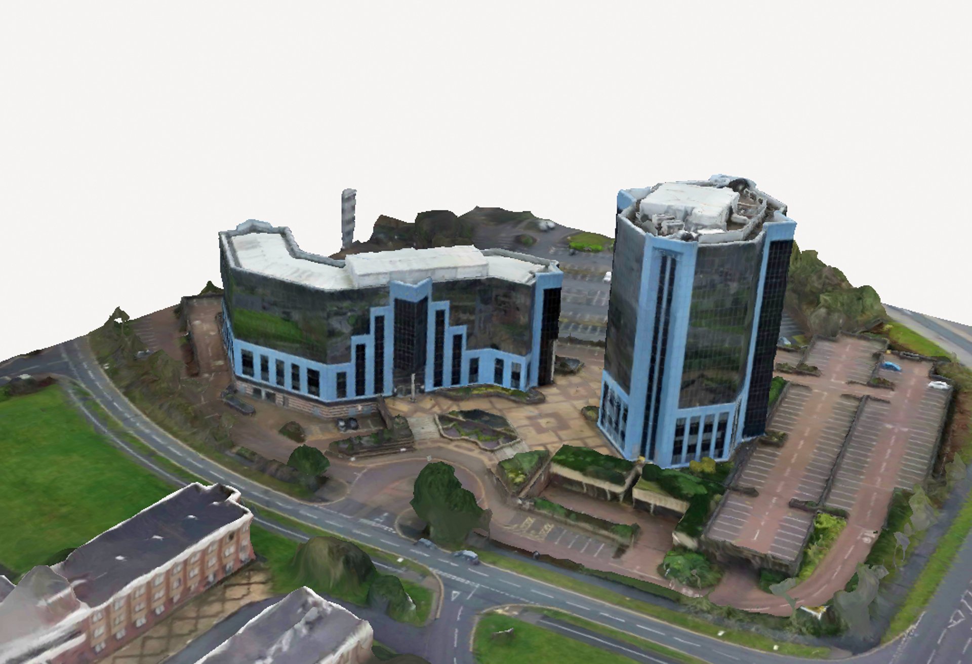
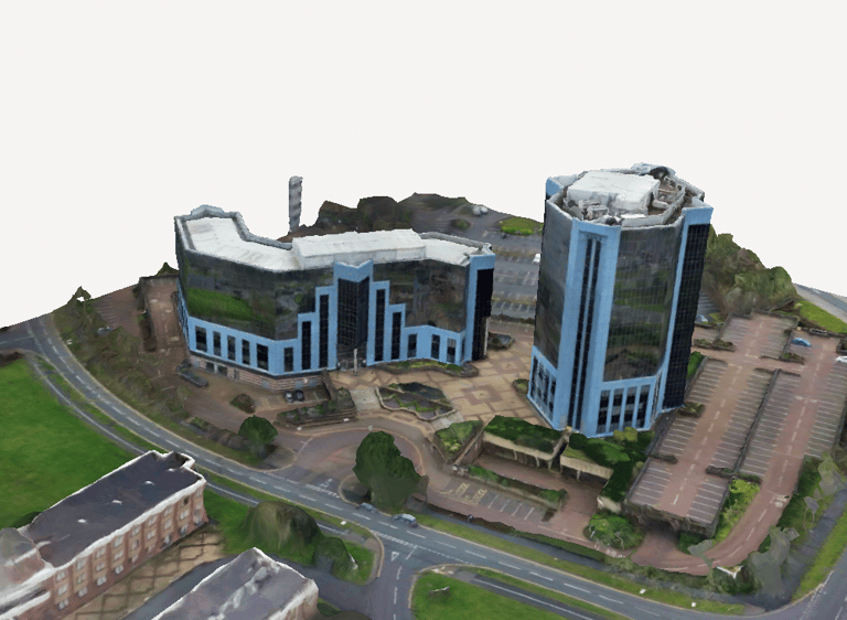
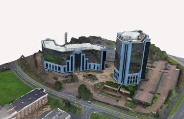
Photogrammetry 3D Models – Accurate, scaled 3D models from drone footage
Enhanced Survey Options – Include line-of-sight for telecoms, access points, and more
Planning-Ready Reports – Useful for applications, boundary checks, and project visualisation
Our Process
You Enquire – Send your address and what you're looking for
We Confirm Flight Zone & Scope – Including any specific requests
Flight Booked – We schedule around weather and local regulations
Drone Launched – 20–60 minute survey depending on scope
Delivery & Support – Files delivered in 2–4 working days with optional commentary or consultation
Pricing Examples:
Standard Survey
From £149 £99
10–20 high-resolution images
Overhead + angled images
Roofs, access points, boundaries
Delivered digitally within 3 working days
Service Survey
From £499 £450 for 5 surveys
Photogrammetry Model
From £249 £195
Get your free quotation today! We will advise you on what's required for your project. Example B is our most common package. Within your quotation you will recieve a scope of works which explains exactly whats included.
Shared imagery & video
Solar checks
Pylons & Overhead cabling checks
Telecoms Surveys
Delivered digitally within 3 working days
Full 3D textured mesh from site
Exportable as OBJ/FBX/STL
Ideal for importing into Revit, AutoCAD, or 3D software
Orthographic top-down export (GeoTIFF)
Great for design teams or BIM workflows
Why Choose Us?
Reliable Communication:
You’ll always know what’s happening. We respond same-day, keep you updated throughout, and offer support by WhatsApp, email, or phone — whichever suits you best.
Unbeatable Value:
We’re one of the most affordable architectural services in the area, offering high-quality drawings and support at a fraction of the cost of traditional firms — without cutting corners.
Fast Turnaround:
We respond to all enquiries the same day and typically complete drawings within two weeks. Our streamlined process keeps your project moving quickly and efficiently from day one.
Transparency:
We believe in clarity from day one. You’ll receive a fixed quote upfront — no hidden charges, no surprises. Every stage of your project is explained in plain English.
Transparency.
Additional Fees/Terms:
Every drawing for planning requires a OS location plan this is charged from £24.50 purchased from RequestAPlan. This will be added onto your quotation and a receipt will be provided.
Measured Surveys are quoted from £50 - £150 (subject to changes*) this will be fully explained in your quotation once provided. This fee does not have to be paid most our clients choose the remote option where you provide the information required.
A 20-50% initial payment will be required in order for works to begin. Along with surveys paid upfront.
Our services do not include Local Planning Authority Fees these are applicable to the client.
Additional services or external consultations are to be reviewed and priced on case by case basis please contact us for quotation.